


Search
0
Share
Mount Mitchell State Park
What you need to know
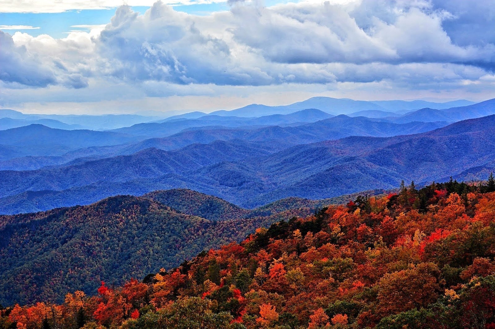
Mount Mitchell State Park is a state park off the Blue Ridge Parkway near Burnsville, about 35 miles northeast of Asheville, and its 6,684-foot summit is the highest peak east of the Mississippi River. From the Parkway at Milepost 355.4, NC 128 climbs about 4.5 miles to the summit parking area. A paved, accessible Summit Trail leads to the observation platform at the top, and longer hiking trails head out across the ridge, including the Deep Gap Trail to Mount Craig. Day use is free.
Local's Tip
Grab gas in Asheville before you go, since there's none between town and the park. For now, you can reach it only from the Asheville side of the Parkway.
What the locals say
Locals make the drive for sunset from the summit in summer, when the park stays open late, and bring visiting friends to stand on the highest peak in the East.
What you need to know
Mount Mitchell State Park is a state park off the Blue Ridge Parkway near Burnsville, about 35 miles northeast of Asheville, and its 6,684-foot summit is the highest peak east of the Mississippi River. From the Parkway at Milepost 355.4, NC 128 climbs about 4.5 miles to the summit parking area. A paved, accessible Summit Trail leads to the observation platform at the top, and longer hiking trails head out across the ridge, including the Deep Gap Trail to Mount Craig. Day use is free.
What the locals say
Locals make the drive for sunset from the summit in summer, when the park stays open late, and bring visiting friends to stand on the highest peak in the East.
Scoops for Mount Mitchell State Park